 vesseltracker.com
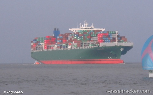
Vessel 636093018 IMO: 9665645, MMSI: 636093018
UTC, 52.63715, 3.01825, course: 206, speed: 11
UTC, 52.44805, 2.85521, course: 204, speed: 10.9
2026-02-13 13:58:18 UTC, 52.09006, 2.45090, course: 238, speed: 11.9
Live AIS position:
UTC. 22 nm SE of Wilga),
updated 2026-02-13 13:58:18 UTC.
Find the position of the vessel 636093018 on the map. The latter are known coordinates and path.
marine traffic ship tracker show on live map
The current position of vessel 636093018 is 52.09006 lat / 2.45090 lng. Updated: 2026-02-13 13:58:18 UTCDetails:
Last coordinates of the vessel:
UTC, 53.11250, 3.35924, course: 194, speed: 12.1UTC, 52.63715, 3.01825, course: 206, speed: 11
UTC, 52.44805, 2.85521, course: 204, speed: 10.9
2026-02-13 13:58:18 UTC, 52.09006, 2.45090, course: 238, speed: 11.9